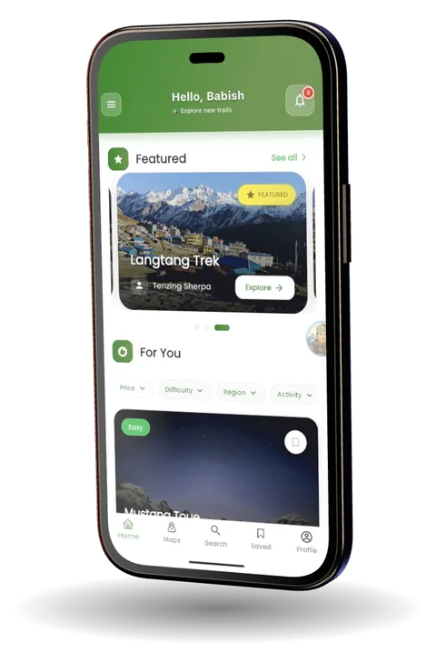
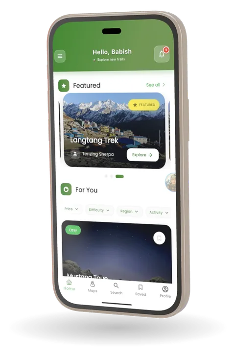

5,000 metres up, no signal. The trail map still works.

Paila Paila
Founder & Lead DeveloperIn-House · Paila Paila
Outcome
Live on Google Play and on the web at pailapaila.biz; iOS in development.
The challenge
Himalayan trails run for days beyond cell coverage and far from a charger. The app has to work without a network, go easy on the battery over a multi-day trek, and stay quick to use on the trail.
What I built
- Founded the product and lead its development across Android, iOS, and the web.
- Built offline vector topographic maps and trail recording that keep working when coverage drops in the Himalayas.
- Built real-time GPS tracking with straying alerts and group coordination.
- Integrated Pasang, an AI Sherpa that helps with route planning, gear, permits, and altitude acclimatisation.
- Built the network of verified local Nepali trekking guides, with live booking.
The product
Paila Paila (पाइला पाइला) is a trekking platform for Nepal: offline topographic maps and trail recording, real-time GPS tracking, Pasang the AI Sherpa, and bookings with verified local guides. It runs on Android and the web, with iOS in development.
Stack
- Flutter
- Dart
- Offline Maps
- GPS & Geolocation
- AI Integration
- REST APIs